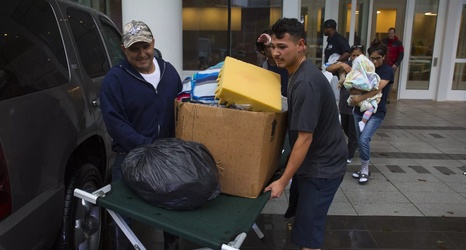
We’re going to go Public Service Stampede for the next little while to try and help get everyone through Hurricane Irma. With the forecast path getting worse and worse for the Tampa area, it seems very possible that more evacuation orders will be handed out on Saturday.
Below you will find evacuation zone maps and lists of shelters for the six coastal counties in Tampa Bay — Hernando, Pasco, Pinellas, Hillsborough, Manatee, and Sarasota. Each map shows the evacuation zones, and the locations of shelters you can head to if necessary. Note that not every shelter will be open for every evacuation.
